news
How Townsville's Public Records Ended Up Full of the Wrong Pictures, and What It Cost to Fix Them
A years-long accumulation of duplicated and mismatched images across Council's digital asset registers has quietly eroded the accuracy of everything from development applications to community program listings.
How we reported this
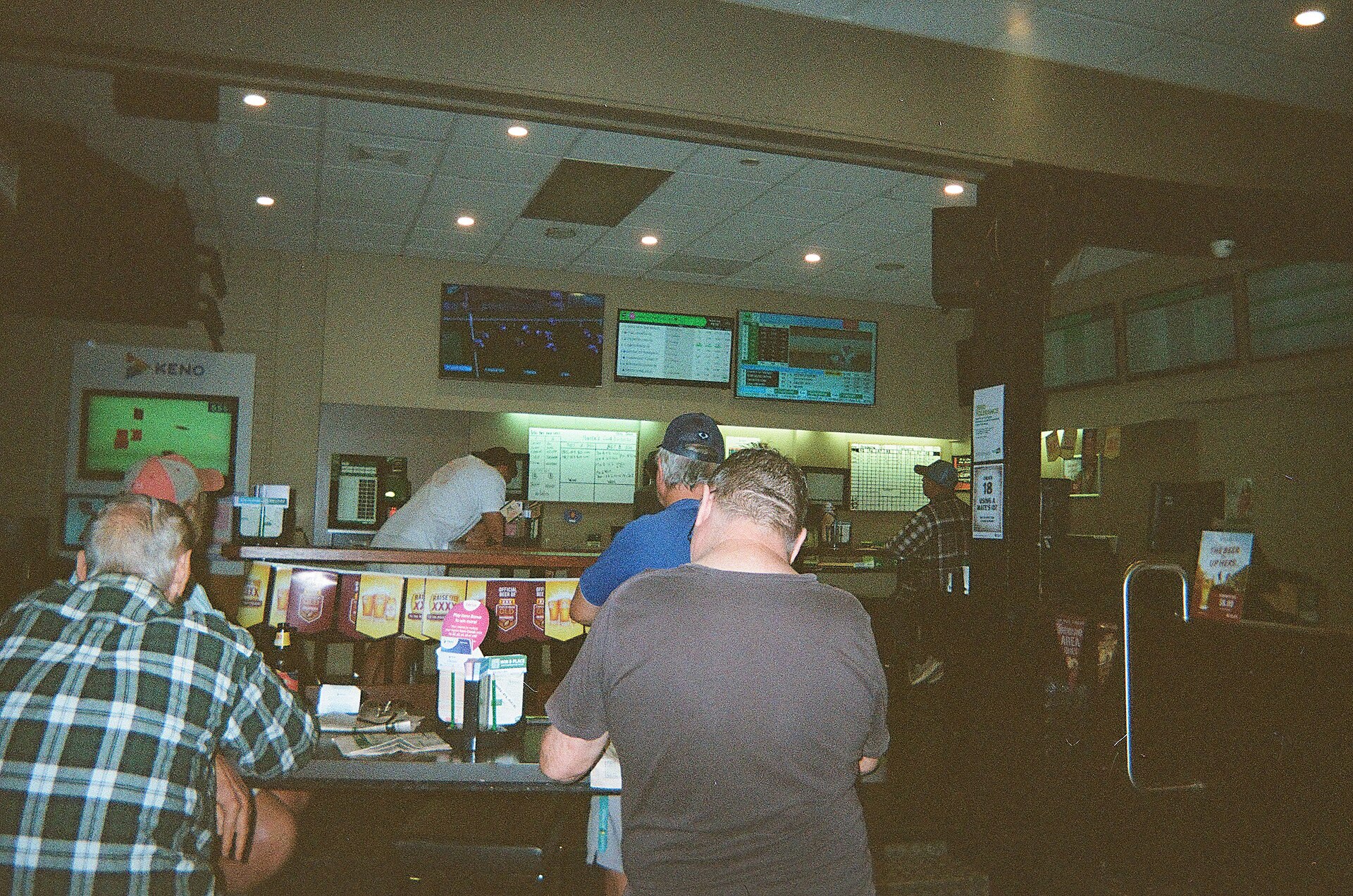
Townsville City Council's internal audit of its digital asset management system, completed in the first quarter of 2026, found that duplicate or misplaced images had corrupted records across at least four separate public-facing databases, including the planning portal used by residents on Flinders Street and the community grants register administered through the Thuringowa civic precinct. The audit flagged the problem as systemic, not incidental, the product of more than a decade of piecemeal software migrations and staff turnover that left no single team responsible for image provenance.
The timing matters. Townsville is mid-stream on several infrastructure and investment pipelines that depend on accurate, reproducible documentation. The hydrogen hub feasibility work anchored around the Port of Townsville, the ongoing Stage 2 flood resilience upgrades tied to the 2019 disaster recovery program, and the expansion of RAAF Base Townsville's public interface materials all require clean, attributable visual records. When a planning document carries the wrong site photograph, a problem the audit described as appearing in dozens of active development application files, the downstream consequences range from minor administrative headaches to potential legal exposure during appeals.
How the Problem Compounded Over Time
The roots go back to at least 2013, when Council migrated from a legacy content management system to a newer platform without a full image deduplication pass. Staff uploaded images manually, often pulling files from shared network drives on the fourth floor of the Makowski Building on Walker Street. Naming conventions were inconsistent. A photograph of Riverway Drive taken in 2015 might sit in the system under three different file names, attached to three different records, while a separate but visually similar image of Aplin Street could be misidentified as the same location by automated tagging tools introduced in 2020.
The 2019 floods accelerated the disorder. Emergency documentation was uploaded rapidly during the response phase, and post-flood recovery records, including images tied to the North Queensland Household Resilience Program, which ran federally co-funded grant rounds through 2022, were added in bulk with minimal metadata. By the time Council's information governance team ran a formal reconciliation in late 2025, the mismatch count across active records had grown to a figure that prompted the audit escalation in January 2026.
Pacific community organisations using the multicultural grants portal, several of which operate out of the Kirwan and Aitkenvale corridors, reported in separate submissions to Council's community development unit that their program listings had at times displayed photographs belonging to entirely different organisations. For groups already navigating limited administrative capacity, the error created confusion about funding visibility and public identity.
The Replacement Process, and What It Demands
Duplicate image replacement is not a simple find-and-delete exercise. Each flagged record requires a human review to determine which image is correct, whether a replacement exists in a verified archive, and whether the underlying record needs additional metadata correction before the image is reattached. Council's ICT and records management teams have been working through a priority triage since March 2026, focusing first on active planning and development files, then on public health and community program records.
The Townsville Local Government Area covers roughly 3,732 square kilometres, and the asset databases reflect that scale, site photographs alone number in the tens of thousands across the land use planning, parks and environment, and infrastructure registers. Vendors quoting for a full managed remediation service have provided Council with estimates ranging from several months to over a year for complete resolution, depending on the automation tools approved for use.
For residents or businesses with active development applications lodged through the MyCouncil portal, the practical advice from the records management unit is straightforward: if a site image attached to your application looks incorrect, lodge a formal correction request with reference to your application number rather than waiting for the system audit to reach your file. The audit triage is working chronologically through the backlog, and active applications flagged directly will be prioritised. Council's records team can be contacted through the Sturt Street customer service centre during business hours.